
Double Arch
SUMMARY: An flat hike to a very unique arch; gravel road for the last 4 miles to the trailhead with basic services at the trailhead. Please note that over half of this hike is on gravel roads, which makes it easy walking, but not as exciting. The gravel road is closed to all vehicular traffic except for the forest service. If you want to see this arch and do not mind a little longer walk I highly recommend combining this hike with Star Gap Arch, or Auxier Ridge and Courthouse Rock, which makes it a much more exciting hike. Please visit those links above.
RATING: Moderate day (out and back-not loop) hike (approximately 4.4 miles total;)
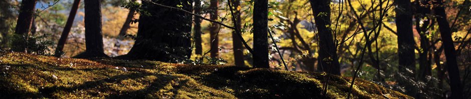
BEST TIME OF YEAR TO HIKE: Early spring when flowers are blooming or autumn when you can catch the fall colors. The USDA Forest Office is located in Winchester, Kentucky about an hour from Red River Gorge. For up to date information either stop in the Ranger District Office, visit their website or telephone: (859) 745-3100.

Double Arch from a Distance
AMOUNT OF TIME NEEDED: Allow a half of a day (3-5 hours) to enjoy this hike. Some can hike it faster, but most arrive on Double Arch and spend time exploring and resting. The scenery is spectacular, the geology is interesting; and, the ridge itself is a perfect place to have lunch and explore. Pack a lunch and enjoy the adventure!
DIRECTIONS TO TRAILHEAD:
- From rest area at exit #33 off of the Mountain State Parkway Turn left, and go to end of road (.3 miles)
- Turn Right onto KY 15 (3.3 miles)
- Turn Left onto Tunnel Ridge Road (3.7 miles)
- Park at the End of Tunnel Ridge Road in the Auxier Ridge Parking Area

Stairs to top of Double Arch
DETAILS:
- Backtrack up Tunnel Ridge Road to a traffic circle with a gate across it and a sign that says Double Arch (100 yards.) The hike starts here.
- Turn Right (go around gate and past sign for Double Arch) and follow gravel road until it ends in the old Double Arch Parking Area. (1.2 miles)
- Follow Trail #201 Double Arch Trail (1.0 miles) (do NOT turn right on Trail #203 Auxier Branch Trail after approximately 0.2 miles)
- Return on Trail #201 Double Arch Trail back to Double Arch Parking area. (1.0 miles)
- Follow gravel road until it ends (1.2 miles)
- Turn Left onto Tunnel Ridge Road (100 yards)
- Arrive at Auxier Ridge Parking Area
BONUS: Did you know you can visit both the unmarked Star Gap Arch and the unmarked Arch of Triumph while on this hike. Check out the Double Arch, Star Gap Arch and Arch of Triumph Hike. Another great option is to visit all of the previous arches and Auxier Ridge turning the hike into a full day loop hike. Both arches are on easy to find unmarked trails. Star Gap Arch is one of my favorites because it is very large and has amazing views.
BONUS #2: Did you know you can get up on top of Double Arch by means of stairs carved into the rock on the right side of the arch.

Pingback: Double Arch Trail | A book, coffee, and the park